
Unveiling Hidden Empires: Modern Archaeology’s Discoveries of Ancient Civilizations
Imagine a world where entire cities, vast networks of settlements, and complex societies lay buried beneath dense jungle canopies, submerged beneath the ocean’s surface, or simply overlooked by centuries of conventional exploration. For a long time, many of humanity’s most incredible achievements remained hidden empires, mere whispers in forgotten texts or local legends. But thanks to the relentless curiosity and groundbreaking innovations of modern archaeology, these lost worlds are no longer confined to the realm of myth. We are living in a golden age of archaeological discoveries, where technology is transforming our understanding of ancient civilizations at an unprecedented pace.
From scanning vast rainforests with laser beams to peering beneath the desert sands with radar, today’s archaeologists are equipped with tools that would have seemed like science fiction just a few decades ago. These cutting-edge techniques are not just unearthing artifacts; they are rewriting history books, revealing the true scale and sophistication of cultures we thought we knew, and bringing entirely new ancient civilizations into the light. This journey isn’t just about finding old things; it’s about connecting with the ingenuity, resilience, and often surprising complexity of our ancestors. Join us as we delve into the most thrilling revelations of modern archaeology and uncover the magnificent hidden empires that are emerging from the shadows of time.
The Dawn of a New Era: How Modern Archaeology Redefines Our Past
For centuries, archaeology was often romanticized as a pursuit of adventure, involving dusty expeditions and the dramatic unearthing of golden treasures. While the spirit of adventure remains, the methods have evolved dramatically. Modern archaeology is a sophisticated scientific discipline, far removed from the treasure hunts of yesteryear. It’s a field increasingly driven by data, technology, and interdisciplinary collaboration, allowing us to make archaeological discoveries on a scale previously unimaginable. This evolution has fundamentally changed how we locate, analyze, and interpret the remnants of ancient civilizations, leading to the unveiling of countless hidden empires.
The game-changer has been the integration of advanced remote sensing technologies. No longer reliant solely on shovels and intuition, archaeologists now employ tools like satellite imagery, Light Detection and Ranging (LiDAR), Ground-Penetrating Radar (GPR), and sophisticated sonar systems. These technologies allow researchers to “see” through natural obstructions like dense vegetation, soil, and water, revealing subtle changes in the landscape that betray the presence of ancient structures. This non-invasive approach not only speeds up the discovery process but also preserves sites, making it a cornerstone of ethical modern archaeology. By harnessing these innovations, we’re not just finding ruins; we’re reconstructing entire landscapes, understanding ancient urban planning, agricultural practices, and the vast networks that sustained these hidden empires.
Seeing Through the Jungle: LiDAR and the Maya Lowlands
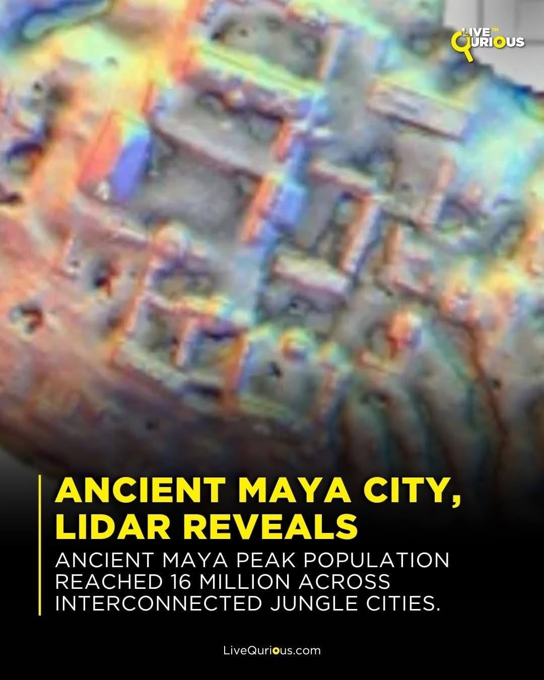
One of the most revolutionary tools in modern archaeology is LiDAR, and its impact on our understanding of the Maya civilization has been nothing short of staggering. For decades, archaeologists painstakingly mapped Maya sites through dense rainforests, often missing vast portions of cities obscured by the canopy. LiDAR, which uses pulsed laser light to measure distances, can penetrate this foliage. By firing millions of laser pulses per second, it creates detailed 3D maps of the ground surface, stripping away the trees to reveal the underlying topography and, crucially, human-made features.
The results have transformed our perception of the Maya. Surveys in regions like Guatemala’s Petén Basin, including areas around Tikal and the sprawling El Mirador Basin, have unveiled an astonishing network of previously hidden empires. LiDAR has revealed massive urban centers, intricate agricultural terraces, elaborate causeways connecting cities, defensive fortifications, and countless unrecorded structures. For instance, in 2018, a LiDAR survey by the PACUNAM Foundation revealed over 60,000 previously unknown structures in the Maya lowlands, suggesting that the region was home to 10-15 million people, far more than previously estimated. These archaeological discoveries paint a picture of highly sophisticated and densely populated ancient civilizations that managed their environment with incredible ingenuity, showcasing a level of societal complexity that rivals any in the ancient world.
Echoes Beneath the Sand: Ground-Penetrating Radar in Mesopotamia and Beyond
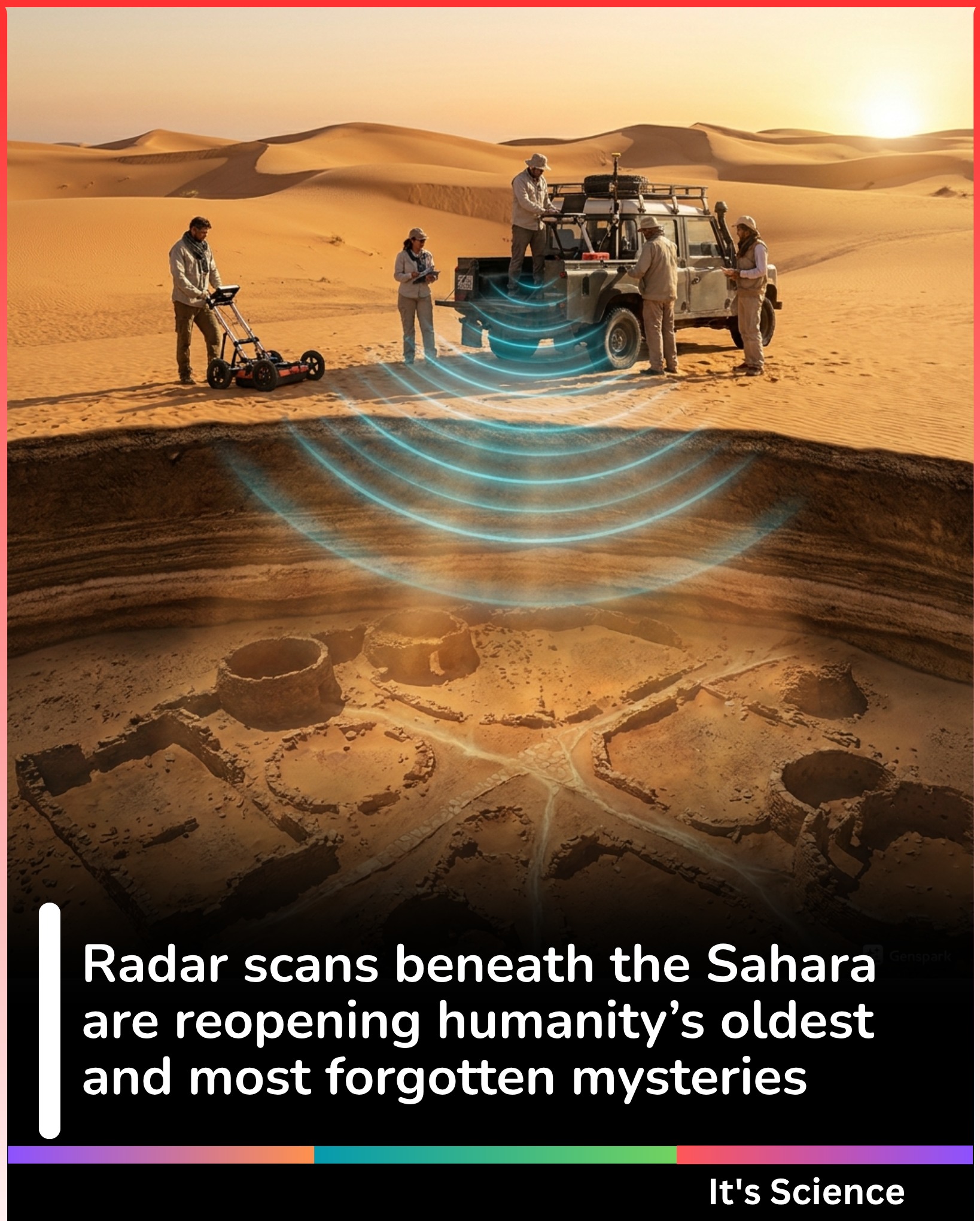
While LiDAR excels at mapping vast landscapes from above, Ground-Penetrating Radar (GPR) offers a unique perspective from the ground level, peering beneath the surface without disturbing it. GPR works by sending electromagnetic pulses into the ground and measuring the reflections from subsurface objects and layers. Different materials and structures reflect these pulses differently, allowing archaeologists to create detailed cross-sections and 3D models of what lies buried. This non-invasive technique is particularly invaluable in delicate environments and areas where traditional excavation is impractical or undesirable.
In Mesopotamia, the cradle of civilization, GPR has been instrumental in exploring sites like Ur and Uruk, revealing the intricate layouts of cities that once housed some of humanity’s earliest ancient civilizations. Researchers have used GPR to map entire neighborhoods, discover forgotten walls, identify irrigation canals, and even locate burial sites, all without moving a single grain of sand. This technology allows for the creation of precise site plans, guiding targeted excavations and providing a comprehensive understanding of urban development. Beyond Mesopotamia, GPR has uncovered Roman villas in Britain, Viking longhouses in Scandinavia, and even helped map the hidden foundations of Angkor Wat. These archaeological discoveries provide invaluable insights into the daily lives, architectural prowess, and societal structures of these hidden empires, offering a glimpse into their long-lost grandeur.
Beneath the Waves: Unveiling Sunken Cities and Maritime Civilizations
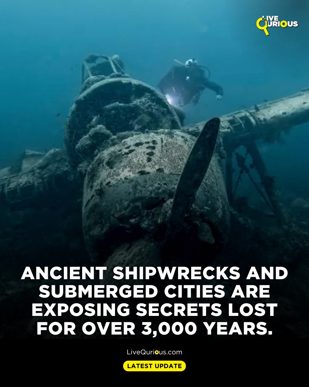
The land isn’t the only place where hidden empires lie waiting to be discovered. The world’s oceans, lakes, and rivers hold countless secrets, preserving the remnants of ancient civilizations that succumbed to natural disasters, rising sea levels, or the ravages of time. Underwater archaeology is a specialized and incredibly challenging field, but the rewards are often spectacular. Utilizing advanced sonar, remotely operated vehicles (ROVs), autonomous underwater vehicles (AUVs), and specialized diving equipment, archaeologists are now exploring depths and areas previously inaccessible, making breathtaking archaeological discoveries.
The unique conditions underwater can act as a natural time capsule, preserving organic materials like wood, textiles, and even food that would quickly decay on land. This preservation allows for an incredibly detailed understanding of ancient life, technology, and trade. From bustling port cities swallowed by the sea to ancient shipwrecks laden with cargo, these submerged sites offer unparalleled insights into the maritime aspects of ancient civilizations and the sophisticated networks that connected them. Exploring these watery graves requires not only cutting-edge technology but also immense skill, patience, and a deep respect for the fragile historical record they contain.
The Black Sea Anomaly: Ancient Shipwrecks and Trade Routes
The Black Sea is a unique environment for underwater archaeology due to its anoxic (oxygen-free) deep waters. This lack of oxygen prevents the activity of wood-eating organisms, creating ideal conditions for the preservation of organic materials, including entire wooden shipwrecks. The Black Sea Maritime Archaeology Project (Black Sea MAP), an international team of researchers, has conducted extensive surveys of this remarkable body of water, leading to truly extraordinary archaeological discoveries.
Using state-of-the-art sonar and ROVs equipped with high-resolution cameras, the team has mapped and documented over 60 shipwrecks, some dating back thousands of years. The most famous of these finds is a remarkably intact Greek trading ship, discovered at a depth of over 2,000 meters, believed to be the world’s oldest intact shipwreck, dating back to approximately 400 BC. Its mast, rudders, and even cargo are perfectly preserved, offering an unprecedented look at ancient shipbuilding technology and maritime trade. These archaeological discoveries provide invaluable data on the interconnectedness of ancient civilizations around the Black Sea, revealing the vast economic and cultural hidden empires that thrived through seafaring, challenging our previous notions of ancient seafaring capabilities and trade networks.
Egypt’s Lost Cities: Heracleion and Canopus
For centuries, ancient texts spoke of two magnificent Egyptian cities, Heracleion (Thonis) and Canopus, thriving port cities located at the mouth of the Nile. Yet, their exact locations remained a mystery, leading many to believe they were mere legends. That changed dramatically in the early 2000s when French underwater archaeologist Franck Goddio and his team, using advanced remote sensing and meticulous surveys, located these hidden empires submerged off the coast of Alexandria.
The archaeological discoveries at Heracleion and Canopus have been nothing short of spectacular. Divers have brought to light colossal statues of pharaohs and gods, sphinxes, intricate temple remains, gold coins, and countless artifacts, all remarkably preserved by the protective layers of sand and silt. These finds confirm the historical accounts, revealing bustling trade hubs and significant religious centers that served as crucial links between Egypt and the wider Mediterranean world. The meticulous mapping of these ancient civilizations has provided extraordinary insights into Ptolemaic Egypt’s economic power, religious practices, and its interactions with Greek culture. The ability of modern archaeology to literally pull these cities from the seabed has reshaped our understanding of one of the world’s most enduring ancient civilizations, demonstrating the profound stories hidden just beneath the waves.
The Human Element: Indigenous Knowledge and Collaborative Archaeology
While technology plays an undeniable role in modern archaeology, the human element remains paramount. Increasingly, archaeologists recognize the invaluable contribution of indigenous knowledge, oral traditions, and local communities in locating and interpreting hidden empires. For generations, many indigenous groups have maintained deep connections to their ancestral lands, preserving stories and memories of places that often hold significant archaeological value, even if the physical remnants are no longer obvious to an outsider’s eye. This shift towards collaborative and ethical archaeology not only enriches the scientific process but also ensures that the voices and perspectives of descendant communities are respected and integrated into the narrative of ancient civilizations.
Engaging with local populations often provides crucial clues that no amount of technology can replicate. Indigenous elders might point to subtle landscape features, share traditional names for places, or recount stories that describe ancient settlements, trade routes, or sacred sites. This collaborative approach fosters trust and ensures that archaeological discoveries are handled with cultural sensitivity, promoting the long-term preservation of heritage sites. By combining cutting-edge technology with traditional wisdom, modern archaeology is not just unearthing physical remains, but also restoring the cultural memory of hidden empires and their descendants.
Unearthing the Amazon: Geoglyphs and Earthworks
For a long time, the Amazon rainforest was widely considered an untouched wilderness, sparsely populated by small, nomadic groups. This perception, however, is rapidly changing thanks to modern archaeology and, significantly, the insights from indigenous communities. LiDAR surveys, coupled with ground-truthing guided by local knowledge, have revealed an astonishing array of monumental earthworks, vast geoglyphs, and complex urban settlements hidden beneath the dense canopy. These archaeological discoveries are rewriting the history of the Amazon, demonstrating that it was once home to highly organized and populous ancient civilizations.
These sophisticated earthworks, including defensive structures, ceremonial sites, and extensive agricultural systems, date back over a thousand years. They challenge the notion of the Amazon as a pristine, undeveloped landscape, revealing instead a meticulously managed environment that sustained large populations for centuries. Indigenous groups, such as the Kayapó, have long spoken of ancient paths and settlements, and their oral histories have often guided archaeologists to these remarkable sites. The discovery of these hidden empires underscores the profound impact of combining technological innovation with the irreplaceable wisdom of those who have lived in harmony with the land for millennia.
Decoding the Data: AI, Big Data, and Predictive Archaeology
The sheer volume of data generated by modern archaeology – from LiDAR scans and GPR surveys to satellite imagery and excavation records – is immense. Managing and interpreting this “big data” would be impossible without advanced computational tools. This is where Artificial Intelligence (AI) and machine learning are increasingly stepping in, revolutionizing how archaeologists process information, identify patterns, and even predict the locations of potential hidden empires.
AI algorithms can analyze vast datasets far more efficiently than humans, identifying subtle anomalies, regularities, and correlations that might indicate the presence of ancient structures or settlements. Machine learning models can be trained on known archaeological sites and environmental factors to create predictive maps, guiding future survey efforts to areas with the highest probability of archaeological discoveries. This “predictive archaeology” minimizes guesswork, optimizes resource allocation, and accelerates the pace at which we uncover ancient civilizations. It’s a powerful testament to how interdisciplinary approaches are driving the future of understanding our past.